
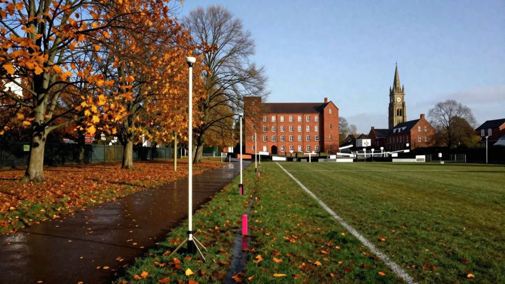
GPS Surveys
Get in TouchAt Leicester Surveys, we specialise in delivering accurate GPS surveys . Our expert team uses advanced positioning technology and precise surveying methods to provide reliable mapping and land assessment.
Our GPS surveys are employed for construction and development projects where precise geographic data is crucial for decision-making. Whether you need mapping for land development or assessing existing site conditions, we can help.
Contact us today to schedule a GPS survey.
How Much Does a GPS Survey Cost?
A GPS survey typically costs between £500 and £1,500, depending on the project's scope and complexity. The cost is influenced by factors such as the area size, terrain condition, and the required level of detail.
Larger sites or those with challenging access may incur higher charges. For instance, surveys in areas with dense vegetation or uneven topography might require additional equipment like handheld GPS units or Total Stations to ensure data accuracy.
Projects demanding centimetre-level precision often involve more survey points and time, increasing the cost. Furthermore, compliance with industry standards like ISO 9001 for quality management systems can also impact pricing.
Our competitive pricing structure ensures you receive quality service without exceeding your budget. For a tailored quote based on your specific requirements, please get in touch with our team.
How Long Does a GPS Survey Take?
Most GPS surveys are completed within one to two days. However, the total time can vary depending on several factors, such as site size, accessibility, and weather conditions like rain or fog that may interfere with satellite signals.
Smaller, straightforward sites may take less time, whereas larger or more complex projects with multiple elevation points or intricate detail requirements may require additional days. We use Trimble and Leica GPS equipment to ensure precise measurements, adhering to RICS standards for accuracy and reliability.
Our skilled surveyors efficiently manage the surveying process to minimise disruption and provide timely results, often preparing reports that include contour maps and digital terrain models. Contact us to discuss your project's timeline.
What Are the Benefits of GPS Surveys?
GPS surveys offer various advantages for precision mapping and land analysis. Using real-time kinematic (RTK) technology, we can achieve centimetre-level accuracy in data collection, which is crucial for tasks such as boundary establishement and utility mapping.
Accuracy: Provides highly precise geographic data vital for planning and development, meeting standards such as ISO 9001 for quality management.
Time-Saving: Enables rapid data collection, reducing time spent on-site, especially beneficial in projects with tight deadlines such as road construction or infrastructure upgrades.
Cost-Effective: Minimises the need for repeated site visits through efficient data gathering and reduces overall project costs by integrating seamlessly with geographic information system (GIS) software.
Versatile Applications: Suitable for various projects, including construction, land development, and environmental studies, and adaptable to changing terrain and weather conditions.
These benefits make GPS surveys an excellent choice for anyone needing reliable geospatial information, allowing precise project execution and planning. Please contact us to learn more about our GPS survey solutions.
Why Choose Leicester Surveys for GPS Surveys?
Leicester Surveys offers unmatched expertise in GPS surveying. Our experienced surveyors use cutting-edge GNSS technology to deliver precise results for all types of projects.
We employ Real-Time Kinematic (RTK) positioning and Post-Processed Kinematic (PPK) methods, ensuring centimetre-level accuracy for land development and construction projects. Our team is adept at handling surveys for roadworks, property boundaries, and infrastructure planning, using the latest Leica and Trimble equipment.
Each survey adheres to RICS standards, providing the reliability required by architects, engineers and property developers. We also efficiently convert data into CAD formats, making it directly usable for further design work.
Our approach guarantees that every aspect of your surveying needs is addressed efficiently. Contact us today to experience our dedication to quality and precision.
Frequently Asked Questions
What equipment do you use for GPS surveys?
We use GNSS receivers, known for their precision and reliability in capturing geographic data.
Are your GPS surveys compliant with UK standards?
Yes, our GPS surveys comply with UK standards to ensure the data is accurate and reliable for your project.
How do I book a GPS survey?
Get in touch with us directly to schedule a GPS survey. Our team will guide you through the booking process.
Do GPS surveys work in all weather conditions?
GPS surveys can be carried out in most weather conditions, although severe weather may cause delays.
What is the minimum site size for a GPS survey?
There is no minimum site size; we can survey both small and large areas depending on your needs.
Get a Free Quote for GPS Surveys
Contact Leicester Surveys today for your GPS survey needs. Contact us today to ensure your project's precision with our expert surveying services.